chartered building surveyor drone pilots

Nimbus produce outstanding building inspection reports utilising drone technology with traditional building surveying techniques and knowledge. The company is run by two in house Chartered Building Surveyors who practice general building surveying duties in accordance with the RICS methodologies . Nimbus hold a PFCO. We are BNUC-S qualified and our proud to have Permission from the CAA to operate drones commercially. Nimbus Aerial Surveys & Photography LLP adopts best industry practice to ensure that all of its flight operations using small unmanned aircraft systems (SUAS) are carried out as safely as possible.
Nimbus Aerial Surveys was founded by Christopher Zacharias M.Sc. MRICS a keen technology enthusiast and Chartered Building Surveyor. Nimbus vision is to utilise aerial photography equipment to improve systems and processes within the building surveying industry.

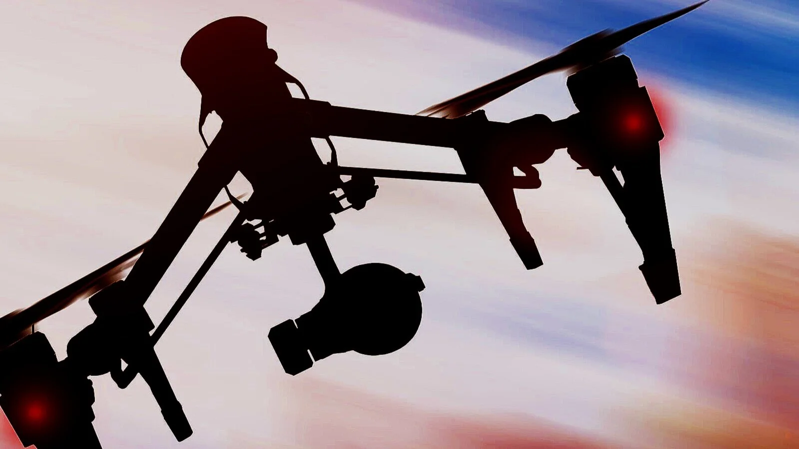
We specialise in drone Surveys.
Our CAA approved pilots fly DJI drones. Drones are formally described as UAV (unmanned aerial vehicle. We carry out UAV surveys.
We aim to keep our Clients happy by honouring our commitments. UAVS or drones reduce the requirement for scaffolding or access equipment at point of survey and inspection. Effective analysis by on site surveyors, building technicians and specialists. Drones offer a safer alternative for building inspections which reduce the risk of working at height.
“I was put in touch with Chris for a project in Oxford, Chris has been a fantastic, diligent contractor who has really impressed us. His planning & documentation steered us through the organisational phase with zero faff, clearly demonstrating his knowledge of civil aviation regulations. The footage is smooth & well composed. Chris was punctual, efficient, and unfailingly polite to our staff and the public- and despite some technical challenges went above & beyond to get the job done. I can thoroughly recommend Chris to anyone looking for a high-value, low-faff collaborator.”

24-Hour Drone Response Service Across the UK
At Nimbus Aerial Surveys LLP, we offer a comprehensive 24-hour drone response service, available nationwide. Our state-of-the-art drone technology ensures rapid, efficient, and accurate assessments for a wide range of applications, including building inspections, fire safety evaluations, and defect reporting.
Our mobile drone operators are on standby around the clock, ready to provide high-quality aerial imagery and data, facilitating informed decision-making and enhancing the safety and integrity of your assets. Whether you require immediate inspection following an incident or proactive maintenance checks, contact our 24 hour drone service.

Experienced building surveyors
Friendly approach
Helpful service
Permission from the Civil Aviation Authority for Aerial Works
BNUC-S licensed
Tested by EuroUSC
USEFUL DRONE RELATED ACRONYMS
AGL -Above Ground Level
VLOS -Visual line of Site
SRG -Safety Regulation Group
UAS -Unmanned Aircraft System
BNUC-S -Basic National UAS Certificate - Small
CAA -Civil Aviation Authority
LUASS -Light UAS Scheme
NAA -National Aviation Authority
SUAS -Small Unmanned Aircraft Systems
VLOS -Visual line of Site
SRG -Safety Regulation Group
UAS -Unmanned Aircraft System
AAIB -Air Accident Investigation Board
GPS -Global Positioning System
AAIB -Air Accident Investigation Board
MTOM -Maximum Take-off Mass
CAP -Civil Aviation Authority
RPAS -Remotely Piloted Aircraft System

Minimal disruption to business. High definition photographic evidence of defects. Building and roof surveys. Aerial photography and videography. Pre survey inspections and Analysis reports. Drone flight photography and video.
NIMBUS AERIAL SURVEYS + PHOTOGRAPHY LLP
Registered address: 15 Crane Mews, 32 Gould Road, Twickenham, TW2 6RS
Company number OC402807